
The model provided warning on the maps through determining the risks 7 years before (at second level).
1- 03.08.2016 İzmir -Seferihisar Orhanlı ( 400 ha.) It ensured high risks at point where the fire started and technical detections regarding positions of the intervention vehicles on
http://seferihisar.bel.tr/cigerimiz-yaniyor/
2- 01.07.2017 in Izmir-Menderes (950 ha.). It ensured high risks at point where the fire started and technical detections regarding positions of the intervention vehicles on
https://www.sozcu.com.tr/2017/gundem/son-dakika-izmirde-orman-yangini-hayati-felc-etti-1916087/
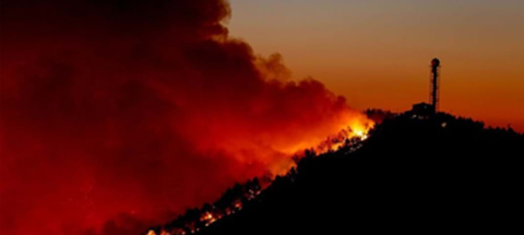
3- 18.08.2019 Izmir-Menderes-Tirazli-(5644 ha.burned) It provided information on the high risk of fire in regions where large forest fire began in on and it emphasized the requirement of deployment of the first intervention vehicle for this region.